
`
Property surveyors in 2026 face an unprecedented challenge: traditional inspection methods alone no longer provide the comprehensive risk assessment that clients demand. In an era where economic volatility, climate uncertainty, and rapid market shifts can dramatically impact property values overnight, the integration of Data-Driven Risk Forecasting for Property Surveyors: Integrating Market Signals with Geospatial Analytics has transformed from a competitive advantage into an operational necessity.
The convergence of real-time market intelligence, advanced geospatial mapping, and predictive analytics now enables surveyors to forecast property risks with remarkable accuracy. This technological evolution addresses a critical gap: while conventional surveys excel at identifying physical defects, they often miss the broader economic and environmental factors that ultimately determine long-term property value and investment viability.
Key Takeaways
🎯 Centralized Data Integration: 74% of organizations are consolidating data from multiple systems to support AI-driven risk forecasting, creating unified platforms that combine property management data, market signals, and geospatial intelligence[3]
📊 Predictive Maintenance Revolution: Modern forecasting models identify building system failures before they occur, reducing emergency repair costs while enabling proactive capital improvement planning[2]
🗺️ Location Intelligence Advantage: Geospatial analytics now assess economic indicators, crime rates, foot traffic patterns, and environmental risks to provide comprehensive property risk profiles[1]
⚡ Early Warning Systems: Real-time monitoring flags signs of asset underperformance or market downturns, enabling timely portfolio rebalancing and strategic decision-making[1]
🔄 Structural Digital Reset: 71% of firms are fundamentally updating their long-term digitization strategies, prioritizing shared data foundations over fragmented legacy systems[3]
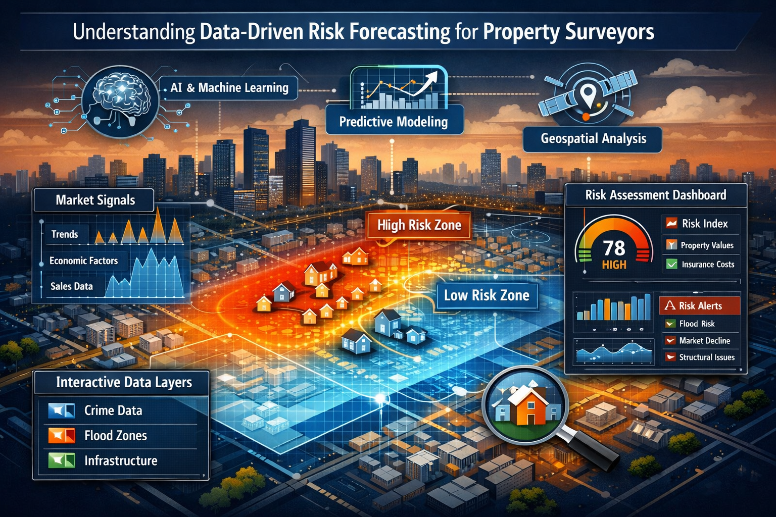
Understanding Data-Driven Risk Forecasting for Property Surveyors

The Evolution from Traditional to Predictive Surveying
Traditional property surveying has long relied on physical inspections, visual assessments, and historical precedent. Professional surveyors would examine structural integrity, identify defects, and provide recommendations based on their expertise and experience. While these methods remain valuable, they represent only one dimension of comprehensive risk assessment.
Data-Driven Risk Forecasting for Property Surveyors: Integrating Market Signals with Geospatial Analytics represents a paradigm shift. This approach combines:
- Physical inspection data from traditional surveys
- Market intelligence including pricing trends, demand patterns, and economic indicators
- Geospatial analytics covering location-specific risks, environmental factors, and demographic shifts
- Predictive modeling that forecasts future conditions based on historical and real-time data
The integration of these elements creates a multidimensional risk profile that extends far beyond what any single assessment method can provide.
Why Market Signals Matter for Property Risk Assessment
Market signals serve as early indicators of changing property values and investment risks. In 2026, surveyors who ignore these signals operate with a critical blind spot. Economic indicators such as employment rates, interest rate movements, and local business development directly impact property demand and valuation.
Consider a commercial property survey that identifies a structurally sound building in excellent condition. Without market signal integration, the surveyor might miss that the surrounding area is experiencing declining foot traffic, rising vacancy rates, or shifting demographic patterns that will inevitably affect the property's long-term value.
Key market signals that inform risk forecasting include:
| Market Signal Category | Specific Indicators | Impact on Property Risk |
|---|---|---|
| Economic Indicators | Employment rates, GDP growth, inflation | Affects tenant demand and rental income potential |
| Interest Rate Trends | Mortgage rates, lending conditions | Influences property affordability and buyer demand |
| Local Development | New construction, infrastructure projects | Changes neighborhood dynamics and competition |
| Demographic Shifts | Population growth, age distribution, income levels | Determines long-term demand patterns |
| Regulatory Changes | Zoning updates, building codes, tax policies | Affects development potential and operating costs |
The Role of Geospatial Analytics in Modern Surveying
Geospatial analytics transforms raw location data into actionable intelligence. By layering multiple data sources onto geographic information systems (GIS), surveyors can visualize and analyze spatial relationships that would otherwise remain hidden.
Modern geospatial platforms enable assessment of economic indicators, crime rates, and tenant creditworthiness to identify portfolio vulnerabilities[1]. This capability extends traditional surveying into the realm of strategic risk management.
Geospatial data layers commonly integrated into property risk forecasting:
🌍 Environmental Risk Zones: Flood plains, earthquake fault lines, subsidence areas, and climate change projections
🏙️ Urban Development Patterns: Transportation networks, commercial centers, school districts, and amenity proximity
📈 Market Dynamics: Property price trends by neighborhood, rental yield variations, and investment hotspot identification
🚨 Safety and Security: Crime rate heat maps, emergency service response times, and neighborhood safety trends
👥 Demographic Intelligence: Population density, income distribution, education levels, and lifestyle preferences
Implementing Data-Driven Risk Forecasting for Property Surveyors: Integrating Market Signals with Geospatial Analytics
Building a Unified Data Infrastructure
The foundation of effective risk forecasting lies in centralized data architecture. According to recent industry research, 74% of organizations report that AI initiatives have pushed them to centralize data from multiple systems and solutions, addressing long-standing weaknesses in fragmented data environments[3].
For property surveyors, this means moving beyond isolated software tools toward integrated technology platforms that centralize data from property management software, predictive maintenance tools, market intelligence platforms, and tenant engagement systems[2].
Essential components of a unified surveying data platform:
- Property Management System Integration: Historical inspection records, maintenance logs, and condition assessments
- Market Intelligence Feeds: Real-time property listings, transaction data, and pricing trends
- Geospatial Data Sources: GIS mapping, satellite imagery, and location-based risk databases
- IoT Sensor Networks: Building performance data, environmental monitoring, and occupancy patterns
- Economic Data Streams: Local employment statistics, business development indicators, and demographic trends
The shift toward centralized platforms represents what industry experts call a "structural reset" on data infrastructure, with firms prioritizing shared data foundations rather than layering additional tools onto existing systems[3].
Selecting and Integrating Technology Solutions
Implementing Data-Driven Risk Forecasting for Property Surveyors: Integrating Market Signals with Geospatial Analytics requires careful technology selection. The goal is not simply to adopt the latest tools, but to build an ecosystem where data flows seamlessly between platforms.
Critical evaluation criteria for technology selection:
✅ Data Compatibility: Can the platform import and export data in standard formats?
✅ API Availability: Does the system offer robust application programming interfaces for integration?
✅ Scalability: Will the solution grow with expanding data volumes and user needs?
✅ User Experience: Can team members adopt the technology without extensive training?
✅ Mobile Accessibility: Does the platform support field data collection on tablets and smartphones?
✅ Security Standards: Are industry-standard encryption and access controls implemented?
Real estate operators increasingly integrate IoT sensor data for energy management, predictive maintenance, and tenant experience enhancement[1]. For surveyors, this means considering how sensor-generated building performance data can complement traditional inspection findings.
Data Collection and Quality Management
The accuracy of risk forecasting depends entirely on data quality. Garbage in, garbage out remains an immutable principle of analytics. Surveyors must establish rigorous protocols for data collection, validation, and maintenance.
Best practices for maintaining data quality:
- Standardized Collection Methods: Use consistent templates, checklists, and measurement protocols across all inspections
- Regular Data Audits: Schedule quarterly reviews to identify and correct inconsistencies, duplicates, or outdated information
- Source Verification: Cross-reference market data and geospatial information against multiple authoritative sources
- Metadata Documentation: Record when, where, and how each data point was collected for traceability
- Continuous Updates: Establish automated feeds for market signals and geospatial data that refresh regularly
What surveyors check during inspections now extends beyond physical conditions to include data capture for ongoing risk monitoring and predictive analysis.
Advanced Analytics Techniques for Property Risk Forecasting
Predictive Modeling Fundamentals
Predictive analytics analyze historical and live data to forecast demand, identify emerging investment hotspots, and anticipate price fluctuations before they materialize[1]. For property surveyors, this capability transforms reactive reporting into proactive advisory services.
The core principle behind predictive modeling is pattern recognition. By analyzing thousands of historical property transactions, market cycles, and risk events, algorithms identify correlations and causal relationships that inform future predictions.
Common predictive modeling techniques applied to property surveying:
- Regression Analysis: Identifies relationships between property characteristics and market values
- Time Series Forecasting: Predicts future trends based on historical patterns and seasonal variations
- Machine Learning Classification: Categorizes properties into risk tiers based on multiple variables
- Neural Networks: Processes complex, non-linear relationships between numerous risk factors
- Ensemble Methods: Combines multiple models to improve prediction accuracy and reduce bias
Forecasting capabilities now support rent pricing strategy, seasonal vacancy anticipation, capital improvement planning, and staffing decisions[2]. These applications extend well beyond traditional surveying scope, positioning practitioners as strategic advisors rather than mere inspectors.
Early Warning Systems and Anomaly Detection
Early warning systems flag signs of asset underperformance or market downturns, enabling timely rebalancing[1]. For property surveyors, implementing these systems means establishing automated monitoring that continuously scans for risk indicators.
Anomaly detection algorithms identify unusual patterns that deviate from established norms. In property risk forecasting, this might include:
🚩 Sudden vacancy rate increases in a previously stable neighborhood
🚩 Unexpected maintenance cost spikes suggesting underlying structural issues
🚩 Rapid crime rate changes affecting property desirability and insurance costs
🚩 Market price anomalies indicating speculation bubbles or distressed sales
🚩 Environmental sensor alerts showing moisture intrusion, temperature extremes, or air quality issues
The integration of predictive maintenance models identifies when building systems are likely to fail, reducing emergency repair costs and operational disruptions[2]. This proactive approach prevents minor issues from escalating into major defects that significantly impact property value.
Location Intelligence and Spatial Analysis
Location intelligence and foot traffic analytics provide granular consumer behavior data to optimize leasing strategies[1]. For surveyors assessing commercial properties, understanding pedestrian patterns, vehicle traffic, and customer demographics adds critical context to physical condition assessments.
Spatial analysis techniques that enhance risk forecasting:
- Heat Mapping: Visualizes concentration patterns for crime, property values, or demographic characteristics
- Proximity Analysis: Measures distance to amenities, transportation, or risk factors like flood zones
- Network Analysis: Evaluates connectivity to transportation infrastructure and commercial centers
- Spatial Clustering: Identifies neighborhoods with similar risk profiles or market characteristics
- Change Detection: Compares geospatial data over time to identify emerging trends or deteriorating conditions
Advanced geospatial platforms now incorporate satellite imagery analysis that can detect property changes, vegetation health, and environmental risks without physical site visits. This capability proved particularly valuable during the pandemic and continues to enhance efficiency in 2026.
Real-World Applications: 2026 Case Studies in Data-Driven Risk Forecasting
Case Study 1: Predicting Flood Risk Impact on Property Values
A London-based surveying firm integrated geospatial flood risk data with historical property transaction records to forecast value impacts from updated Environment Agency flood maps. By analyzing properties in newly designated flood zones, the firm predicted an average 8-12% value decline over 18 months.
Methodology:
- Overlaid new flood zone boundaries on property database using GIS mapping
- Analyzed historical transactions in areas that experienced flood zone reclassification
- Incorporated insurance cost increases and mortgage availability constraints
- Applied machine learning models to predict individual property value trajectories
- Validated predictions against actual market performance
The forecasting model achieved 89% accuracy in predicting which properties would experience value declines exceeding 10%. Clients who received early warnings were able to either divest vulnerable assets or implement flood mitigation measures that preserved value.
This approach aligns with broader industry trends in predicting property risks with AI and machine learning, where environmental hazards are assessed through advanced analytics rather than historical precedent alone.
Case Study 2: Commercial Property Portfolio Optimization
A commercial property investment firm engaged surveyors to assess a 47-property portfolio using integrated market signals and geospatial analytics. Traditional surveys identified maintenance needs totaling £2.3 million. However, data-driven risk forecasting revealed a more nuanced picture.
Key findings from integrated analysis:
- 12 properties were in neighborhoods experiencing declining foot traffic and business closures, suggesting future tenant retention challenges despite good physical condition
- 8 properties showed predictive maintenance alerts for HVAC and electrical systems, with failure probability exceeding 70% within 24 months
- 5 properties were located in emerging development zones with infrastructure improvements planned, indicating appreciation potential that justified additional capital investment
- 3 properties faced regulatory changes requiring accessibility upgrades within 18 months
The integrated analysis enabled the client to prioritize investments strategically: divesting underperforming assets in declining areas, accelerating maintenance on high-risk systems, and increasing capital allocation to properties in growth zones. The data-driven approach generated an estimated £4.7 million in preserved value compared to traditional assessment methods.
Case Study 3: Residential Development Site Selection
A residential developer used Data-Driven Risk Forecasting for Property Surveyors: Integrating Market Signals with Geospatial Analytics to evaluate three potential development sites in Greater London. While all three sites passed traditional planning and structural assessments, integrated risk analysis revealed significant differences.
Comparative risk analysis results:
| Risk Factor | Site A (Romford) | Site B (Fulham) | Site C (Enfield) |
|---|---|---|---|
| Demographic Growth Trend | +2.3% annually | +0.8% annually | +1.9% annually |
| Average Income Trajectory | Declining (-1.2%) | Stable | Growing (+2.1%) |
| Crime Rate Trend | Improving (-8%) | Stable | Worsening (+5%) |
| Transport Infrastructure | Major upgrade planned | No changes | Minor improvements |
| School Quality Index | Rising | Excellent (stable) | Declining |
| Environmental Risk | Low flood risk | Minimal | Moderate subsidence |
| Market Demand Forecast | Strong growth | Saturated | Moderate growth |
The analysis revealed that Site A in Romford offered the strongest risk-adjusted return potential, despite Site B in Fulham having higher current property values. The developer proceeded with Site A, achieving 23% higher sales prices than initially projected due to the anticipated demographic and infrastructure improvements.
Overcoming Implementation Challenges
Addressing Data Privacy and Compliance Requirements
Integrating multiple data sources raises important privacy and regulatory considerations. Property surveyors must navigate GDPR requirements, data protection regulations, and client confidentiality obligations while building comprehensive risk forecasting platforms.
Essential compliance measures:
- Data Minimization: Collect only information directly relevant to risk assessment purposes
- Anonymization Protocols: Remove personally identifiable information from datasets used for predictive modeling
- Consent Management: Obtain explicit permission for data collection and usage beyond core surveying services
- Access Controls: Implement role-based permissions ensuring team members access only necessary data
- Audit Trails: Maintain detailed logs of data access, modifications, and sharing activities
- Vendor Due Diligence: Verify that third-party data providers comply with applicable regulations
The structural reset happening across the industry means that 71% of firms are updating their long-term digitization strategies[3], with data governance and compliance frameworks receiving renewed attention.
Managing Change and Team Adoption
Technology implementation fails when teams resist adoption. Surveyors accustomed to traditional methods may view data-driven approaches with skepticism or feel overwhelmed by new systems.
Strategies for successful team adoption:
- Start with Quick Wins: Implement simple analytics that demonstrate immediate value before advancing to complex predictive models
- Provide Comprehensive Training: Invest in both technical skills development and conceptual understanding of analytics principles
- Designate Data Champions: Identify early adopters who can mentor colleagues and troubleshoot issues
- Maintain Hybrid Approaches: Combine traditional surveying expertise with data-driven insights rather than replacing established methods
- Celebrate Success Stories: Share case studies where analytics improved outcomes or prevented costly mistakes
- Gather Continuous Feedback: Regularly solicit input on system usability and feature requirements
The goal is not to replace surveyor expertise with algorithms, but to augment professional judgment with data-driven insights. What surveyors do fundamentally remains the same—providing clients with accurate risk assessments—but the tools and information sources have expanded dramatically.
Balancing Cost and Value
Implementing comprehensive data-driven risk forecasting requires significant investment in technology, training, and data acquisition. Smaller surveying practices may struggle to justify these costs, particularly when competing against firms offering traditional services at lower prices.
Cost-benefit considerations:
💰 Initial Investment: Software licenses, hardware upgrades, data subscriptions, and training programs
💰 Ongoing Expenses: Data feeds, platform maintenance, continuous training, and system updates
💰 Opportunity Costs: Time spent implementing systems rather than conducting billable surveys
💰 Competitive Positioning: Premium pricing potential for advanced analytics services
💰 Risk Mitigation: Reduced liability exposure through more comprehensive assessments
💰 Efficiency Gains: Faster report generation, reduced site visit requirements, and automated data collection
Many firms adopt phased implementation strategies, starting with basic market signal integration before advancing to sophisticated predictive modeling. This approach spreads costs over time while demonstrating value incrementally.
Future Trends in Data-Driven Property Risk Forecasting
Artificial Intelligence and Machine Learning Advancement
AI-driven deal screening tools are streamlining acquisition cycles by rapidly analyzing vast datasets[1]. As these technologies mature, surveyors will increasingly leverage automated systems that can process thousands of properties simultaneously, identifying risk patterns that would be impossible to detect manually.
Emerging AI applications for property surveying:
- Computer Vision Analysis: Automated defect detection from photographs and drone imagery
- Natural Language Processing: Extracting insights from planning documents, legal records, and historical reports
- Reinforcement Learning: Optimizing inspection schedules and resource allocation based on risk priorities
- Generative AI: Creating customized risk reports tailored to specific client requirements and risk tolerances
- Autonomous Systems: Robotic inspection platforms for hazardous or difficult-to-access areas
The structural changes happening across real estate in 2026 suggest that AI adoption will accelerate rather than plateau. Firms that establish strong data foundations now will be best positioned to leverage increasingly sophisticated AI capabilities.
Climate Risk Integration
Climate change represents one of the most significant long-term risks to property values. Forward-thinking surveyors are integrating climate projections into risk forecasting models, assessing not just current conditions but anticipated changes over 10, 20, or 50-year horizons.
Climate risk factors entering mainstream property assessment:
🌡️ Temperature Extremes: Heat stress on building materials and cooling system capacity
💧 Precipitation Changes: Flooding, drainage capacity, and water damage risks
🌊 Sea Level Rise: Coastal property viability and insurance availability
🌪️ Severe Weather Frequency: Storm damage probability and structural resilience requirements
🔥 Wildfire Risk: Proximity to fire-prone areas and defensible space requirements
Organizations are recognizing that climate risks intersect with market signals—properties in high-risk zones face declining insurance availability, reduced mortgage access, and ultimately diminished market demand.
Blockchain and Distributed Ledger Applications
Blockchain technology offers potential solutions for property data verification, transaction transparency, and risk documentation. While still emerging, distributed ledger systems could transform how surveying data is stored, shared, and verified.
Potential blockchain applications in property risk forecasting:
- Immutable Inspection Records: Tamper-proof documentation of property conditions and defects over time
- Smart Contract Integration: Automated triggering of maintenance requirements or insurance claims based on sensor data
- Data Marketplace Access: Secure sharing of anonymized property data for market analysis and predictive modeling
- Provenance Verification: Confirming authenticity of building materials, permits, and compliance certificates
- Collaborative Risk Assessment: Multiple stakeholders contributing to shared, transparent property risk profiles
While widespread adoption remains years away, surveyors should monitor blockchain developments as the technology matures and regulatory frameworks emerge.
Practical Steps for Implementing Data-Driven Risk Forecasting
Step 1: Assess Current Capabilities and Gaps
Begin with an honest evaluation of existing data infrastructure, team skills, and technology platforms. Identify specific gaps between current capabilities and the integrated risk forecasting vision.
Key assessment questions:
- What data sources do we currently collect and maintain?
- How is data currently stored, organized, and accessed?
- What analytics capabilities exist within the team?
- Which technology platforms are already in use?
- What are our clients' most pressing risk assessment needs?
- Where do competitors have analytical advantages?
Step 2: Define Clear Objectives and Use Cases
Avoid the temptation to implement technology for its own sake. Instead, identify specific business objectives and client needs that data-driven risk forecasting will address.
Example objectives:
- Reduce survey report turnaround time by 30%
- Identify maintenance issues 6-12 months before failure
- Provide clients with quantified property value risk assessments
- Expand service offerings to include portfolio-level risk analysis
- Improve prediction accuracy for property defects and issues
Step 3: Start with Foundational Data Integration
Before investing in advanced predictive analytics, ensure basic data infrastructure is solid. Focus on centralizing existing information sources and establishing quality control processes.
Priority integration targets:
- Historical inspection reports and findings
- Local property transaction databases
- Basic geospatial mapping and location data
- Public records (planning, permits, violations)
- Economic indicators for service areas
Step 4: Pilot Test with Limited Scope
Select a specific property type, geographic area, or client segment for initial implementation. This focused approach allows for learning and refinement before full-scale deployment.
For example, a firm might pilot data-driven risk forecasting exclusively for commercial property surveys in a single borough, integrating foot traffic analytics and local business data before expanding to other property types or locations.
Step 5: Measure, Learn, and Iterate
Establish clear metrics for evaluating implementation success. Track both quantitative outcomes (report turnaround time, prediction accuracy, revenue growth) and qualitative feedback (client satisfaction, team adoption, competitive positioning).
Critical success metrics:
| Metric Category | Specific Measurements | Target Benchmarks |
|---|---|---|
| Operational Efficiency | Report completion time | 25-40% reduction |
| Prediction Accuracy | Defect forecast precision | 80%+ accuracy rate |
| Client Value | Risk assessment comprehensiveness | 90%+ satisfaction scores |
| Revenue Impact | Premium service adoption | 15-25% revenue growth |
| Team Adoption | Platform utilization rates | 85%+ daily active users |
Regular review cycles allow for continuous improvement, technology adjustments, and service refinement based on real-world performance.
Integrating Risk Forecasting into Client Advisory Services
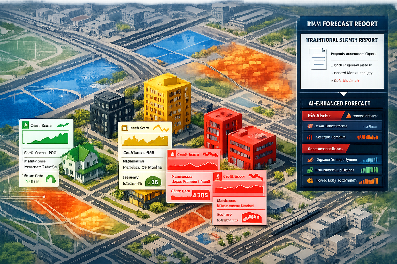
Transforming Survey Reports into Strategic Documents
Traditional survey reports document existing conditions. Data-driven risk forecasting transforms these documents into forward-looking strategic advisories that guide investment decisions.
Enhanced report components:
📋 Executive Risk Summary: High-level assessment of property risks across physical, market, and location dimensions
📋 Predictive Maintenance Timeline: Forecasted system failures and recommended intervention schedules
📋 Market Position Analysis: Property performance relative to neighborhood trends and comparable assets
📋 Value Impact Projections: Quantified estimates of how identified risks may affect property values over time
📋 Scenario Planning: Multiple future scenarios (optimistic, baseline, pessimistic) with probability assessments
📋 Actionable Recommendations: Prioritized interventions with cost-benefit analysis and timeline guidance
This enhanced approach positions surveyors as strategic advisors rather than transactional service providers. Clients receive not just information about current conditions, but insights into future risks and opportunities.
Pricing Strategies for Advanced Analytics Services
Data-driven risk forecasting represents significant value creation that justifies premium pricing. However, firms must clearly communicate this value to clients accustomed to traditional survey fees.
Pricing model options:
- Tiered Service Packages: Basic physical survey, enhanced market analysis, comprehensive risk forecasting
- Subscription Models: Ongoing risk monitoring and quarterly updates for portfolio clients
- Value-Based Pricing: Fees tied to transaction size or asset value rather than inspection time
- Consulting Retainers: Advisory relationships for clients requiring continuous risk assessment support
- Hybrid Approaches: Base survey fee plus analytics modules selected à la carte
The key is demonstrating return on investment. When clients understand that comprehensive risk forecasting can prevent costly mistakes, identify value-preservation opportunities, or support better investment decisions, premium pricing becomes justified.
Building Long-Term Client Relationships
Data-driven risk forecasting creates opportunities for ongoing client engagement rather than one-time transactions. Properties and markets evolve continuously, creating recurring needs for updated risk assessments.
Relationship-building strategies:
- Annual Risk Reviews: Scheduled reassessments tracking how property and market conditions have changed
- Alert Services: Proactive notifications when market signals or geospatial data indicate emerging risks
- Portfolio Dashboards: Client-accessible platforms showing real-time risk metrics across multiple properties
- Educational Workshops: Training sessions helping clients understand and utilize risk forecasting insights
- Collaborative Planning: Joint strategy sessions integrating risk data into capital planning and investment decisions
These approaches transform surveyors from occasional service providers into trusted advisors with deep understanding of client portfolios and objectives.
Conclusion: Embracing the Future of Property Surveying
Data-Driven Risk Forecasting for Property Surveyors: Integrating Market Signals with Geospatial Analytics represents more than a technological upgrade—it signifies a fundamental evolution in how property risk is understood and communicated. The convergence of traditional surveying expertise with advanced analytics, market intelligence, and geospatial data creates unprecedented opportunities for practitioners willing to embrace change.
The evidence is clear: 74% of organizations are centralizing data infrastructure to support AI initiatives[3], 71% are fundamentally updating digitization strategies[3], and predictive analytics are becoming standard expectations rather than premium offerings. Surveyors who delay implementation risk competitive disadvantage as clients increasingly demand forward-looking risk assessments that traditional methods cannot provide.
However, successful implementation requires more than technology adoption. It demands cultural change, skill development, data governance, and strategic vision. The firms that will thrive are those that view data-driven risk forecasting not as a replacement for professional judgment, but as an enhancement that amplifies surveyor expertise with comprehensive, objective intelligence.
Actionable Next Steps
For property surveyors ready to implement data-driven risk forecasting, consider these immediate actions:
✅ Conduct a Data Audit: Document all current data sources, storage systems, and analytics capabilities to establish a baseline
✅ Identify Quick Wins: Select one specific use case (e.g., predictive maintenance for commercial properties) for pilot implementation
✅ Invest in Training: Develop team capabilities in data analysis, GIS platforms, and market intelligence interpretation
✅ Establish Data Partnerships: Connect with market data providers, geospatial platforms, and IoT sensor networks relevant to your service areas
✅ Enhance Client Communication: Begin educating clients about the value of integrated risk forecasting and how it protects their investments
✅ Monitor Industry Developments: Stay informed about emerging technologies, regulatory changes, and competitive innovations
✅ Join Professional Networks: Engage with industry groups focused on property technology and data-driven decision-making
The future of property surveying lies in the intelligent integration of traditional expertise with modern analytics. Those who successfully navigate this transition will not only survive but thrive, delivering unprecedented value to clients while establishing themselves as indispensable strategic advisors in an increasingly complex property market.
The question is not whether to adopt data-driven risk forecasting, but how quickly and effectively your firm can implement these capabilities to serve clients better and maintain competitive relevance in 2026 and beyond.
For surveyors seeking to understand the broader context of their evolving role, exploring resources on comprehensive condition survey reports and different types of surveyors provides valuable perspective on how specializations are adapting to technological change.
References
[1] Data Analytics Real Estate – https://leni.co/help-articles/data-analytics-real-estate/
[2] Data Driven Decision Making Property Managers – https://bfpminc.com/data-driven-decision-making-property-managers/
[3] Verdantix 2026 Global Real Estate Survey Where Leaders Are Doubling Down And Where Change Is Structural – https://www.verdantix.com/insights/blog/verdantix-2026-global-real-estate-survey–where-leaders-are-doubling-down—and-where-change-is-structural
[5] Predicting Property Risks With Ai And Machine Learning Floods Landslides And Beyond In 2026 – https://nottinghillsurveyors.com/blog/predicting-property-risks-with-ai-and-machine-learning-floods-landslides-and-beyond-in-2026