
Nearly one in three construction projects experiences costly delays or legal disputes tied directly to inaccurate or incomplete land survey drafting — a statistic that makes choosing the right drafting partner one of the most consequential decisions on any development project. Knowing the 7 Critical Questions to Ask Before Hiring a Land Survey Drafting Service in 2026 is no longer optional; it is a fundamental part of protecting budgets, timelines, and legal standing.
Whether managing a large infrastructure project, a residential development, or a commercial boundary dispute, the quality of the drafting service behind the survey data shapes every downstream decision. This guide breaks down the essential vetting questions, red flags to watch for, and practical checklists to help make the right hire.
Key Takeaways 📌
- Software compatibility matters enormously — mismatched CAD platforms can strip critical data from deliverables.
- Licensing and insurance are non-negotiable — always verify both before signing any contract.
- Quality control protocols directly determine error rates and rework costs.
- Turnaround times and revision policies must be clearly defined in writing to protect project schedules.
- References and portfolio reviews are the fastest way to separate credible providers from risky ones.
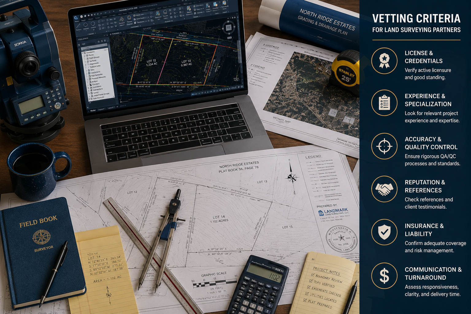
The Full List: 7 Critical Questions to Ask Before Hiring a Land Survey Drafting Service in 2026
Before diving into each question in depth, here is a quick-reference overview of all seven:
| # | Question | Why It Matters |
|---|---|---|
| 1 | Are you fully licensed in my jurisdiction? | Legal compliance and survey validity |
| 2 | Which CAD platforms and versions do you use? | Software compatibility and data integrity |
| 3 | What quality control protocols do you follow? | Error prevention and deliverable accuracy |
| 4 | What is your turnaround time and rework policy? | Project schedule protection |
| 5 | Do you carry professional liability insurance? | Financial and legal risk mitigation |
| 6 | Can you provide references or portfolio samples? | Reputation and quality verification |
| 7 | How do you integrate AI, GIS, and emerging tech? | Future-readiness and efficiency |
Question 1: Are You Fully Licensed in My Jurisdiction? ✅
Licensing is the foundation of every legitimate land survey drafting engagement. A provider operating without the correct state or regional licence produces surveys that may be legally unenforceable — a potentially catastrophic outcome for property transactions, planning applications, or boundary disputes [2].
What to ask specifically:
- Which jurisdictions are you currently licenced in?
- Can you provide your licence number for verification?
- Do you hold any RICS (Royal Institution of Chartered Surveyors) accreditation or equivalent professional body membership?
💡 Pull Quote: "A survey produced by an unlicensed provider is not just a waste of money — it can invalidate planning permissions and trigger legal liability."
Understanding what a chartered surveyor does — including their regulatory obligations — helps clients set the right baseline expectations before any engagement begins.
🚩 Red Flag: Any provider who hesitates to share licence details, or who claims licensing "isn't necessary" for drafting-only services, should be removed from consideration immediately.
Question 2: Which CAD Platforms and Versions Are You Proficient In?
Software compatibility is one of the most underestimated risks in outsourced drafting. If a project relies on Civil 3D pipe networks or intelligent object data, but the provider only delivers standard AutoCAD flat files, the result is a deliverable stripped of its most valuable technical content [1].
Common platforms to ask about:
- AutoCAD (version-specific)
- Civil 3D
- MicroStation / OpenRoads
- Revit (for BIM-integrated projects)
- QGIS / ArcGIS (for GIS-heavy deliverables)
Compatibility Checklist:
- Confirm the exact software version used
- Request a sample file in the required format
- Verify that intelligent objects and data layers are preserved
- Ask about file handover formats (DWG, DXF, SHP, etc.)
🔑 Key Point: Always request a test deliverable before committing to a full project. A small paid test task reveals more about technical capability than any sales conversation.
For projects involving Level 3 building surveys, the drafting layer must integrate seamlessly with structural and condition data — making software alignment even more critical.
Question 3: What Quality Control Protocols Do You Follow?
A dedicated QA/QC process is what separates professional drafting firms from freelance operators. Without structured quality control, errors compound across project phases, leading to design flaws, rework costs, and potential legal exposure [1].
Key QC questions to ask:
- Is there a dedicated QC reviewer separate from the drafter?
- What is the internal error rate on recent projects?
- How are field-to-finish discrepancies identified and resolved?
- Do you use automated checking tools (e.g., CAD standards checkers)?
What a strong QC process looks like:
| QC Stage | What It Covers |
|---|---|
| Field data review | Checks raw data for completeness and accuracy |
| Draft review | Verifies layer standards, scale, and symbology |
| Peer check | Independent review by a second qualified drafter |
| Final sign-off | Senior review before client delivery |
🚩 Red Flag: A provider who cannot describe their QC process in specific terms — or who claims "we just check it before sending" — is a significant risk on any project where accuracy matters.

Technology, Turnaround, and Risk: More of the 7 Critical Questions to Ask Before Hiring a Land Survey Drafting Service in 2026
Question 4: What Is Your Typical Turnaround Time and Rework Policy?
Delays in drafting cascade into every downstream phase of a project. A provider who cannot commit to clear turnaround times — or who has no defined rework policy — introduces schedule risk that is difficult to recover from [1].
Turnaround benchmarks to expect in 2026:
| Project Type | Reasonable Turnaround |
|---|---|
| Simple boundary survey draft | 24–48 hours |
| Topographic survey (small site) | 3–5 business days |
| Large infrastructure project | 7–14 business days |
| Complex GIS/BIM integration | 10–20 business days |
Questions to ask:
- What is your standard turnaround for a project of this scope?
- How do you handle rush requests?
- What is your revision policy — how many rounds are included?
- What happens if a deadline is missed due to your error?
💡 Pull Quote: "A rework policy in writing is not a sign of expected failure — it is a sign of professional accountability."
Always get turnaround commitments and revision terms in the contract, not just in a verbal conversation. For complex property cases — such as those involving party wall matters — delays in drafting can stall legal proceedings and escalate costs significantly.
Question 5: Do You Carry Professional Liability Insurance?
Professional indemnity insurance (also called errors and omissions insurance) is the financial safety net that protects clients when a drafting error causes measurable harm. Without it, recovering losses from a negligent provider can be extremely difficult [2].
What to verify:
- Minimum coverage amount (typically £1M–£5M for commercial projects)
- Whether the policy covers sub-contracted work
- The claims process and response timeline
- Expiry date of the current policy
🚩 Red Flag: A provider who cannot produce a current certificate of insurance should not be engaged on any project with significant financial or legal exposure.
Understanding what a property surveyor does and the professional standards they are held to provides useful context for evaluating whether a drafting service operates at an equivalent level of accountability.
Question 6: Can You Provide References or Portfolio Samples?
References and portfolio reviews are the most direct evidence of a provider's real-world performance. Asking for references is not a sign of distrust — it is standard professional practice [2].
What to request:
- 3–5 recent client references (preferably in similar project types)
- Portfolio samples in the required deliverable format
- Case studies showing how errors or challenges were handled
- Online reviews or verified ratings from platforms like Google or Trustpilot
Questions to ask references:
- Were deliverables accurate and on time?
- How did the provider handle revisions or corrections?
- Would you hire them again for a similar project?
🔑 Key Point: Pay particular attention to how a provider handled problems, not just successes. A provider who communicates proactively and resolves issues professionally is far more valuable than one with a perfect record on easy projects.
Question 7: How Do You Integrate AI, GIS, and Emerging Technologies?
In 2026, land survey drafting has moved well beyond manual CAD work. Providers who have not integrated AI-assisted checking, GIS data layers, and drone-sourced point clouds into their workflows are already operating at a competitive disadvantage.
Technology capabilities to look for:
| Technology | Benefit |
|---|---|
| AI-assisted error checking | Catches layer conflicts and data gaps automatically |
| GIS integration | Enables spatial analysis and multi-layer mapping |
| Drone/LiDAR point cloud processing | Faster, more accurate topographic data |
| BIM compatibility | Supports integrated building and land data |
| Cloud-based collaboration | Real-time access and version control |
Questions to ask:
- Do you use AI tools for QC or drafting assistance?
- Can you process LiDAR or drone-sourced point cloud data?
- How do you handle GIS data integration in deliverables?
- What collaboration tools do you use for client communication?
🚩 Red Flag: A provider who dismisses AI or GIS as "unnecessary" for standard projects may be using outdated workflows that increase error rates and turnaround times.
For clients exploring the full range of survey types available, reviewing different types of survey options helps clarify which technology capabilities are most relevant to a specific project scope.
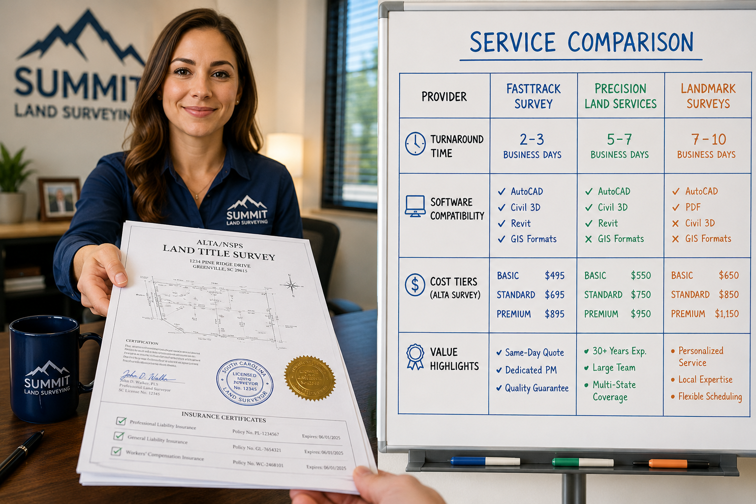
Red Flags Summary: When to Walk Away 🚩
Even after asking all seven questions, certain responses should trigger immediate concern. Use this checklist before signing any contract:
Walk away if the provider:
- Cannot verify current licensing in writing
- Refuses to share insurance certificates
- Has no documented QC process
- Cannot provide a single verifiable reference
- Delivers only flat CAD files with no intelligent data
- Has no defined rework or revision policy
- Uses software versions more than two generations behind current standards
- Cannot explain how they handle AI or GIS integration
Cost Efficiency and Outsourcing Considerations in 2026 💰
Rising project demands and talent shortages have pushed many firms toward outsourced drafting services. When done correctly, outsourcing can deliver 30–50% cost savings compared to in-house drafting teams — but only when the provider meets all seven vetting criteria above.
Key cost considerations:
- Hourly vs. project-based pricing — project-based pricing reduces scope creep risk
- Offshore vs. onshore providers — offshore can reduce costs but may introduce communication and time-zone challenges
- Revision costs — always clarify whether revisions are included or billed separately
- Rush fees — understand the premium for accelerated turnaround
For clients managing properties with complex valuation or condition requirements, understanding the full scope of professional survey services available helps frame the drafting component within a broader professional engagement.
Conclusion: Make the Right Hire in 2026
The 7 Critical Questions to Ask Before Hiring a Land Survey Drafting Service in 2026 are not just a checklist — they are a structured framework for protecting project investments, legal standing, and professional reputation. Every question targets a specific risk area: licensing covers legal validity, software compatibility protects data integrity, QC protocols prevent costly errors, turnaround policies safeguard schedules, insurance limits financial exposure, references verify real performance, and technology capabilities determine long-term efficiency.
Actionable next steps:
- ✅ Build a shortlist of 3–5 providers and send each the seven questions in writing.
- ✅ Request a paid test deliverable before committing to a full project.
- ✅ Verify licensing and insurance independently — do not rely solely on self-reported information.
- ✅ Contact at least two references per provider before making a final decision.
- ✅ Ensure all turnaround, revision, and pricing terms are documented in a signed contract.
Taking the time to vet a land survey drafting service thoroughly is not bureaucratic overhead — it is the single most effective way to avoid the disputes, delays, and rework costs that derail projects and damage professional relationships.
References
[1] 7 Critical Questions To Ask Before Hiring A Land Survey Drafting Service Provider In 2026 – https://www.gsourcedata.com/7-critical-questions-to-ask-before-hiring-a-land-survey-drafting-service-provider-in-2026/
[2] Questions To Ask A Land Surveyor – https://www.angi.com/articles/questions-to-ask-a-land-surveyor.htm
