
Preparing Property Surveys for the 2026 Real Estate Investment Surge: Insights from Investor Surveys

A staggering 95% of investors plan to purchase as much or more commercial real estate in 2026 as they did the previous year, according to a CBRE survey of institutional buyers [2]. That single statistic signals a market shift that every property surveyor, investor, and due diligence professional must take seriously. Preparing property surveys for […]
Mobile 3D Mapping for Property Surveys: Creating Digital Twins Without Bulky Gear

A single smartphone-sized LiDAR scanner can now capture a complete floor plan of a 200-square-metre property in under twelve minutes — a task that once required a two-person crew, a tripod-mounted total station, and the better part of a working day. That shift is not a marketing claim; it reflects the measurable performance benchmarks published […]
Structured Fire Risk Assessments in Property Surveys: Post-2026 Regulatory Checklist for Surveyors
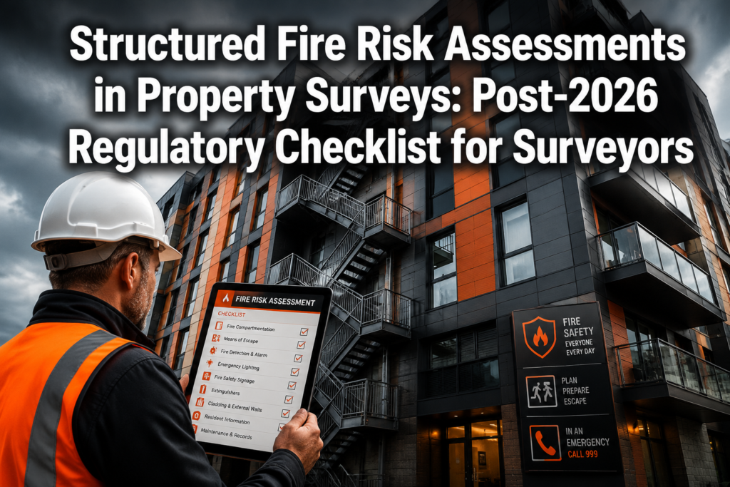
42% of all fire safety audits conducted by UK fire and rescue services in 2024/25 were rated unsatisfactory — and formal enforcement notices have risen by 46% over eight years [3]. For surveyors operating in 2026, that statistic is not a background concern. It is a direct professional liability risk that sits inside every property […]
Building Survey Protocols for Manchester’s 2026 Property Boom: RICS Standards Amid Surging Northern Yields
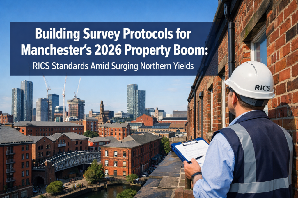
Manchester's property market is experiencing an unprecedented surge in 2026, with prices climbing 8.2% year-on-year and investor interest flooding into high-yield conversion opportunities[1]. As the city's residential landscape transforms through ambitious regeneration projects and a wave of property conversions, the demand for rigorous Building Survey Protocols for Manchester's 2026 Property Boom: RICS Standards Amid Surging […]
Navigating New Wealth Taxes in High-Value Property Valuations: RICS Strategies for £2M+ Surveys Post-2026 Budget

The landscape of high-value property taxation in England is undergoing its most significant transformation in decades. As 2026 marks the critical "Year of Valuation" for the new High-Value Council Tax Surcharge (HVCTS), property owners and surveyors face unprecedented challenges in accurately assessing properties worth £2 million or more. The stakes have never been higher: a […]