
The mobile mapping market hit USD 51.19 billion in 2026 — and the technology driving that number has quietly rewritten the rules of property and land surveying [8]. Mobile 3D mapping advancements: fast, flexible surveys without bulky equipment are no longer a niche innovation reserved for aerospace or military applications. Today, a single surveyor carrying a device lighter than a laptop can generate centimetre-accurate 3D models of entire buildings, underground tunnels, or remote rural plots — in real time.
This shift matters enormously for property professionals, construction teams, and urban planners who once had to choose between speed and accuracy. That trade-off is largely gone.
Key Takeaways 📌
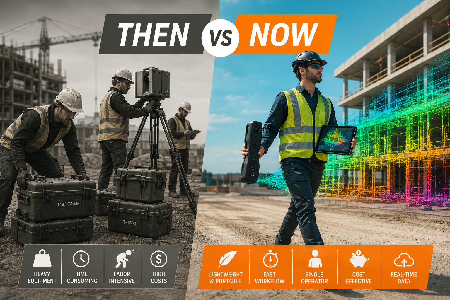
- Equipment weight has dropped by up to 95% compared to traditional laser scanners, with modern devices weighing under 2 kg while maintaining millimetre-level accuracy [8].
- AI-powered post-processing has cut data processing time by 60%, delivering usable 3D models within 24 hours rather than weeks [8].
- Real-time visualisation lets surveyors verify coverage on-site, eliminating costly return visits.
- New platforms like Artec Jet, FJD Trion V4E, and GeoCue TrueView GO support both indoor and outdoor environments with no GPS dependency.
- The market is projected to grow at a CAGR of 17.95%, driven by smart city programmes and infrastructure modernisation [8].
Why Traditional 3D Surveying Struggled to Scale
For decades, high-accuracy 3D mapping meant one thing: heavy, expensive, stationary equipment. Terrestrial laser scanners required tripods, controlled environments, and teams of specialists. A single scan of a medium-sized building could take days to set up, capture, and process. The data files were enormous, the workflows were rigid, and the cost was prohibitive for most property projects.
"The constraint was never the technology's capability — it was the delivery mechanism."
This created a real gap in the market. Smaller surveys, dilapidations assessments, roof inspections, and residential property evaluations rarely justified the cost of full-scale 3D scanning. Surveyors instead relied on manual measurements, 2D drawings, and photography — methods prone to human error and difficult to audit later.
The result? Missed defects, disputed measurements, and costly revisits. For anyone involved in construction surveys and site documentation, the limitations were felt acutely.
Mobile 3D Mapping Advancements: Fast, Flexible Surveys Without Bulky Equipment — The Technology Explained
The breakthrough enabling today's portable 3D surveying is a combination of four converging technologies:
- LiDAR miniaturisation — Laser sensors that once required a van-mounted system now fit in a handheld unit.
- SLAM algorithms — Simultaneous Localisation and Mapping lets devices build accurate spatial models without fixed reference points or GPS.
- RTK GNSS integration — Real-Time Kinematic positioning delivers centimetre-accurate georeferencing on the move.
- Edge computing — On-device processing means results appear in real time, not after hours of back-office work.
Together, these advances have produced a new generation of tools that are reshaping how surveys are conducted across property, infrastructure, and urban planning sectors.
Smartphones as Professional Scanners
Astrivis has developed a mobile 3D scanning solution that turns standard iOS and Android smartphones into professional-grade scanners. Using on-device computing, the system captures and processes accurate 3D models in under 30 seconds — with no specialist hardware required [1]. For rapid assessments of smaller spaces, this democratises access to 3D data in a way that was unthinkable five years ago.
High-Precision GNSS Mapping Apps
In March 2026, Digital Mapping Group launched FastXY, a high-precision GNSS mapping application for iOS and Android. FastXY supports point, line, and polygon data collection alongside 3D basemaps, topographic surveying, and on-the-fly datum transformations — all from a mobile device [2]. For GIS professionals and AEC teams, this removes the need for dedicated field computers entirely.
Compact LiDAR Kits with RTK Accuracy
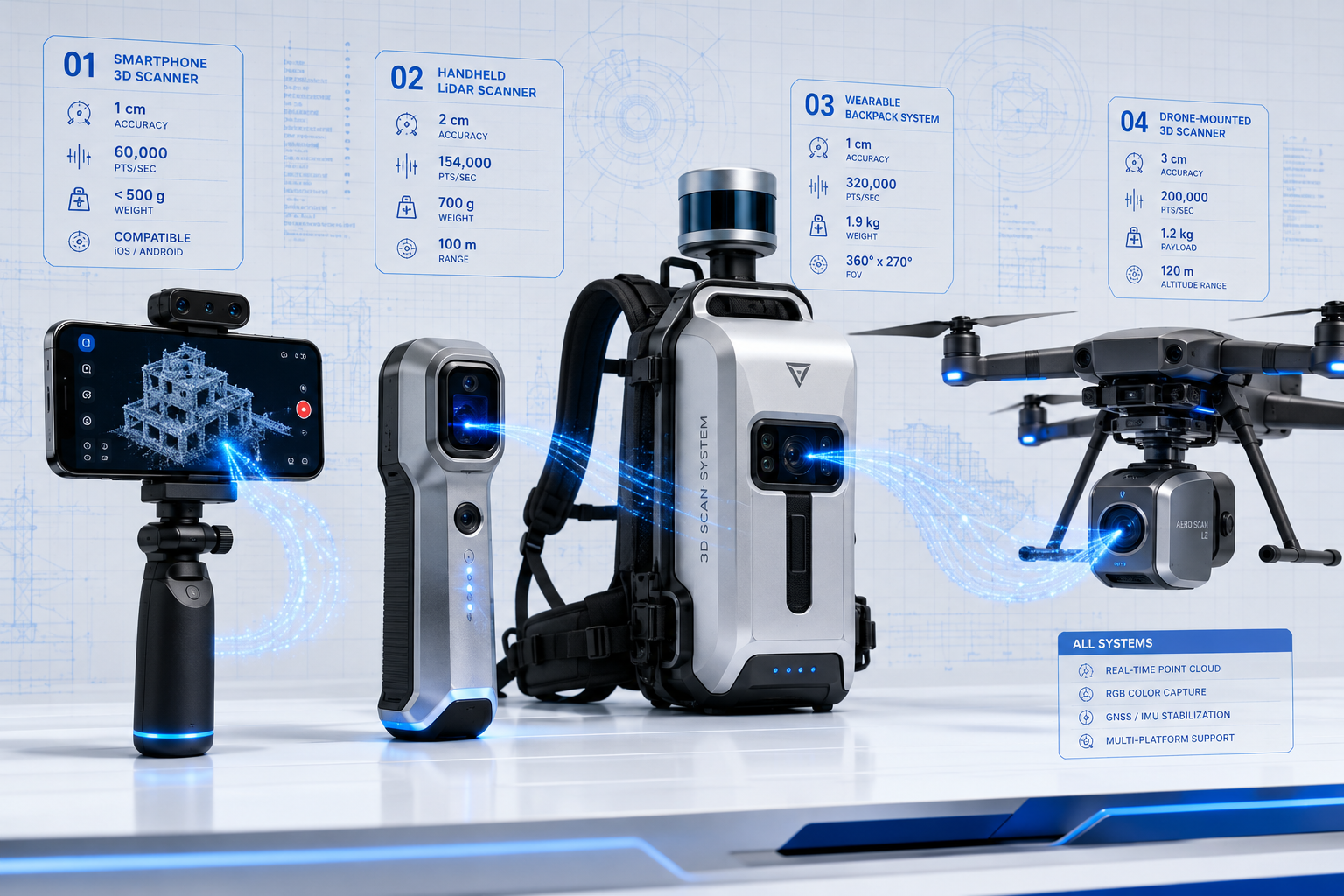
The FJD Trion V4E LiDAR Kit combines RTK GNSS positioning with a professional LiDAR sensor to generate real-time georeferenced point clouds. It captures 154,000 points per second across a 360° horizontal field of view, with a detection range of up to 50 metres [3]. Post-processing delivers absolute accuracy of 3 cm — suitable for facade surveys, outdoor BIM modelling, and underground utility mapping.
| Feature | FJD Trion V4E | Traditional Static Scanner |
|---|---|---|
| Weight | Under 2 kg | 5–15 kg |
| Setup time | Minutes | 30–90 minutes per station |
| Points per second | 154,000 | Up to 1 million (stationary) |
| GPS dependency | RTK GNSS | Fixed control points |
| Real-time output | ✅ Yes | ❌ No |
| Indoor use | ✅ Yes (SLAM) | Limited |
Leading Devices Driving the Shift in 2026
Emesent Hovermap — Underground and Beyond
Emesent's Hovermap is an AI-powered LiDAR scanner with a sensing range of up to 300 metres and the ability to capture over one million points per second [4]. Originally designed for autonomous drone mapping in GPS-denied underground environments such as mines and tunnels, it has since expanded into construction, infrastructure inspection, and large-scale outdoor surveys.
Its autonomous mapping capability means it can operate without a human operator guiding every movement — a significant step toward fully automated site documentation.
Artec Jet — Drone-Mounted or Handheld
Introduced in April 2026, the Artec Jet uses SLAM-based mobile mapping to rapidly create detailed 3D models of large environments [5]. It can be deployed handheld or mounted directly onto a drone, making it one of the most flexible systems currently available. Factory floors, construction sites, and underground tunnels are all within its operational scope — without the constraints of tripods or GPS.
For drone survey applications, the ability to combine aerial LiDAR capture with ground-level handheld scanning in a single workflow is a significant operational advantage.
FARO Orbis — Hybrid Static and Mobile
FARO Technologies unveiled the Orbis Mobile Scanner, which blends mobile and stationary scanning in a single device [6]. Powered by GeoSLAM's proprietary SLAM algorithm, it allows operators to switch seamlessly between walking and stationary modes while continuously capturing 360° images. According to FARO, Orbis is ten times faster than traditional static laser scanners — a claim that reflects how dramatically the efficiency ceiling has risen.
GeoCue TrueView GO — Georeferenced Point Clouds on the Move
GeoCue's TrueView GO integrates GNSS RTK, survey-grade LiDAR, cameras, and visual SLAM in a handheld package [7]. Available in 16-channel and 32-channel configurations, it delivers georeferenced point clouds in real time as the operator walks — indoors or outdoors. This makes it particularly well-suited to mixed-environment surveys where conditions shift between GPS-available and GPS-denied zones.
Mobile 3D Mapping Advancements: Fast, Flexible Surveys Without Bulky Equipment in Property Assessment
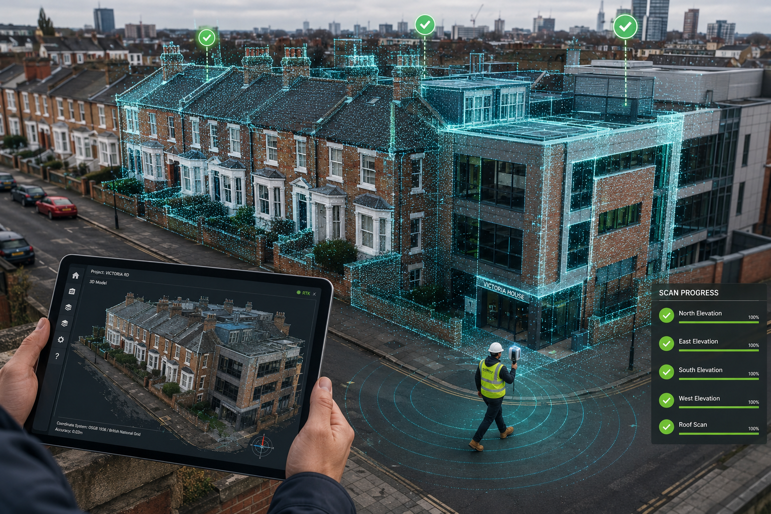
The practical implications for property surveying are substantial. Consider the following use cases where portable 3D mapping is already delivering measurable results in 2026:
🏗️ Construction and Structural Surveys
Mobile 3D scanning allows surveyors to capture as-built conditions rapidly at any stage of a build. Deviations from design drawings are identified immediately, reducing the risk of costly late-stage corrections. For professionals conducting RICS building surveys, the ability to generate precise spatial data on-site strengthens both the report quality and the audit trail.
🏚️ Dilapidations and Condition Assessments
Dilapidations disputes often hinge on precise measurements and documented conditions at a specific point in time. A schedule of condition report supported by a georeferenced 3D point cloud is far more defensible than photographs alone. Mobile scanning makes this level of documentation practical for standard commercial tenancy assessments — not just major infrastructure projects.
🏠 Residential and Heritage Property Surveys
For older or non-standard properties, mobile 3D mapping captures complex geometry — curved walls, irregular floor plans, ornate facades — that traditional measurement methods struggle with. This is particularly relevant for non-standard construction surveys where accurate spatial data directly informs structural assessments and reinstatement cost calculations.
🏙️ Urban Planning and Smart Cities
Smart city programmes are a primary driver of the market's 17.95% projected CAGR [8]. Mobile mapping enables rapid, repeatable capture of urban environments for digital twin creation, infrastructure monitoring, and planning applications — at a fraction of the cost of traditional methods.
The Accuracy and Speed Numbers That Matter
The performance improvements in mobile 3D mapping advancements are not incremental — they represent a step change:
- ⚡ Processing time: From weeks to under 24 hours, with AI automation cutting post-processing by 60% [8]
- ⚖️ Weight reduction: Up to 95% lighter than traditional scanners — under 2 kg for most modern systems [8]
- 🎯 Accuracy: Millimetre-level relative accuracy maintained even at walking speed
- 🔄 Real-time output: Live point cloud visualisation on-site, allowing immediate quality checks [8]
- 📍 GPS independence: SLAM algorithms enable accurate mapping in basements, tunnels, and dense urban canyons
"Real-time visualisation eliminates the costly scenario of returning to site because a data gap was only discovered back in the office."
This combination of speed, portability, and accuracy is what makes modern mobile mapping genuinely transformative — not just incrementally better.
Practical Considerations for Surveyors Adopting Mobile 3D Mapping
Adopting new technology always involves trade-offs. Here are the key factors to weigh:
✅ Advantages
- Rapid deployment with minimal setup
- Single-operator capability reduces staffing costs
- Works in GPS-denied environments (basements, tunnels, dense urban areas)
- Real-time data review prevents return visits
- Integrates with BIM, GIS, and CAD workflows
⚠️ Considerations
- Higher upfront cost for professional-grade LiDAR systems vs. traditional instruments
- Training required to interpret point cloud data and manage SLAM drift
- Data volume — millions of points per scan require robust storage and processing infrastructure
- Accuracy limitations in featureless environments (blank white walls, open fields) where SLAM can struggle
For surveyors exploring which survey type best fits a specific property, resources like the Level 2 vs Level 3 survey comparison provide useful context on matching methodology to property complexity.
What's Next: The Near-Term Trajectory
Several developments are likely to shape mobile 3D mapping over the next two to three years:
- Smartphone LiDAR proliferation — As Apple and Android devices incorporate more capable LiDAR sensors, the barrier to entry for basic 3D capture will continue to fall.
- AI-driven defect detection — Machine learning models trained on point cloud data will begin flagging structural anomalies automatically during the scan, not just after processing.
- Cloud-native workflows — Real-time upload and collaborative review of 3D models will become standard, enabling remote expert input during live surveys.
- Regulatory integration — Planning authorities and insurers are beginning to accept georeferenced 3D models as primary documentation, which will accelerate professional adoption.
For property professionals considering roof surveys or complex structural assessments, mobile LiDAR-equipped drones already offer a compelling combination of safety and precision that traditional access methods cannot match.
Conclusion: Actionable Next Steps for Property Professionals
Mobile 3D mapping advancements: fast, flexible surveys without bulky equipment represent one of the most significant shifts in surveying practice in a generation. The combination of sub-2 kg devices, real-time point cloud generation, SLAM-based indoor mapping, and AI-accelerated processing has removed the practical barriers that once confined 3D scanning to large-scale or high-budget projects.
Here's what property professionals should do now:
- Audit current survey workflows — Identify where manual measurement or photography is introducing risk or inefficiency.
- Pilot a mobile LiDAR tool on a low-stakes project to build internal competency before deploying on complex commissions.
- Update report templates to incorporate 3D data outputs — clients and legal teams increasingly expect georeferenced documentation.
- Engage with RICS guidance on digital survey standards, which are evolving rapidly to reflect new capabilities.
- Consult a specialist — For complex properties, speak with a chartered surveyor who is already integrating advanced scanning into their practice.
The surveying profession has always evolved with its tools. In 2026, the tools have caught up with the ambition — and the professionals who adopt them earliest will define the new standard.
References
[1] astrivis – https://www.astrivis.com/?utm_source=openai
[2] Digital Mapping Group Launches High Precision Gnss Mapping App Fastxy – https://www.gpsworld.com/digital-mapping-group-launches-high-precision-gnss-mapping-app-fastxy/?utm_source=openai
[3] Fjd V4e – https://3digital.tech/en/products/fjd-v4e?utm_source=openai
[4] Hovermap Series – https://www.emesent.com/emesent-product/hovermap-series/?utm_source=openai
[5] Artecs New Jet 3d Scanner Digitizes Entire Sites Via Drone Mounted Or Handheld Lidar – https://all3dp.com/4/artecs-new-jet-3d-scanner-digitizes-entire-sites-via-drone-mounted-or-handheld-lidar/?utm_source=openai
[6] Faro Unveils Orbis Mobile Scanner – https://www.faro.com/en/News-Library/2023/FARO-Unveils-Orbis-Mobile-Scanner?utm_source=openai
[7] Geocue Launches Trueview Go Expanding Its Portfolio With Advanced Handheld Mapping – https://develop-marketing.lp360.com/resources/articles/geocue-launches-trueview-go-expanding-its-portfolio-with-advanced-handheld-mapping/?utm_source=openai
[8] Mobile 3d Mapping Systems Creating Detailed Digital Replicas Without Bulky Equipment – https://wimbledonsurveyors.com/mobile-3d-mapping-systems-creating-detailed-digital-replicas-without-bulky-equipment/?utm_source=openai
