
GIS Integration for Property Surveyors: Overlaying Data for Smarter Land Use Decisions in 2026
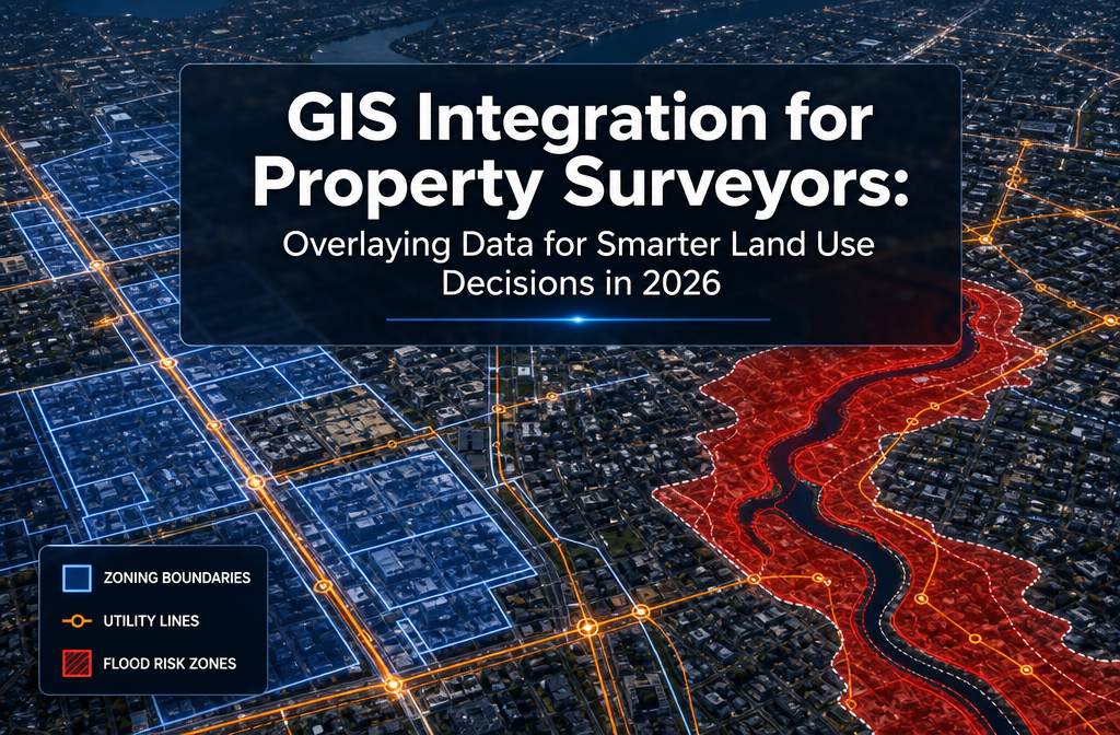
Over 70% of planning objections on development projects stem from conflicts that were already visible in the available spatial data — they were simply never combined into one place. That is the core problem that GIS Integration for Property Surveyors: Overlaying Data for Smarter Land Use Decisions in 2026 is designed to solve. By stacking […]