
Cloud-Based Surveying Platforms: Why Real-Time Collaboration is Becoming Industry Standard

The surveying profession stands at a pivotal crossroads in 2026. Static PDF deliverables and isolated data silos are rapidly becoming relics of the past, replaced by dynamic, cloud-based platforms that enable instant collaboration, browser-based 3D visualization, and real-time project synchronization. Client expectations have fundamentally shifted—no longer satisfied with traditional survey products delivered weeks after fieldwork, […]
AI-Driven Precision in Land Surveying: How Artificial Intelligence is Transforming Data Collection and Analysis

The land surveying profession stands at a technological crossroads in 2026. For centuries, surveyors relied on meticulous manual measurements, careful calculations, and painstaking data analysis. Today, AI-Driven Precision in Land Surveying: How Artificial Intelligence is Transforming Data Collection and Analysis represents more than just an incremental improvement—it marks a fundamental shift in how professionals capture, […]
3D Mapping and Visualization Tools: Making Advanced Surveying Technology Accessible and Affordable
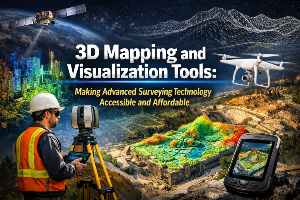
The surveying industry stands at a remarkable crossroads in 2026. What was once the exclusive domain of large firms with substantial capital budgets has transformed into an accessible landscape where 3D Mapping and Visualization Tools: Making Advanced Surveying Technology Accessible and Affordable are reshaping how professionals of all sizes deliver precise, comprehensive property assessments. Gone […]
BIM Integration for Surveyors: Bridging Geospatial Data and Construction Planning

The construction industry stands at a pivotal moment in 2026. A surveyor arrives at a development site, tablet in hand, capturing precise measurements that will immediately flow into a three-dimensional Building Information Model accessible to architects, engineers, and contractors across multiple continents. This isn't science fiction—it's the new reality of BIM Integration for Surveyors: Bridging […]
Autonomous Drones and Multi-Sensor Technology: The Game-Changer for Large-Scale Property Surveys
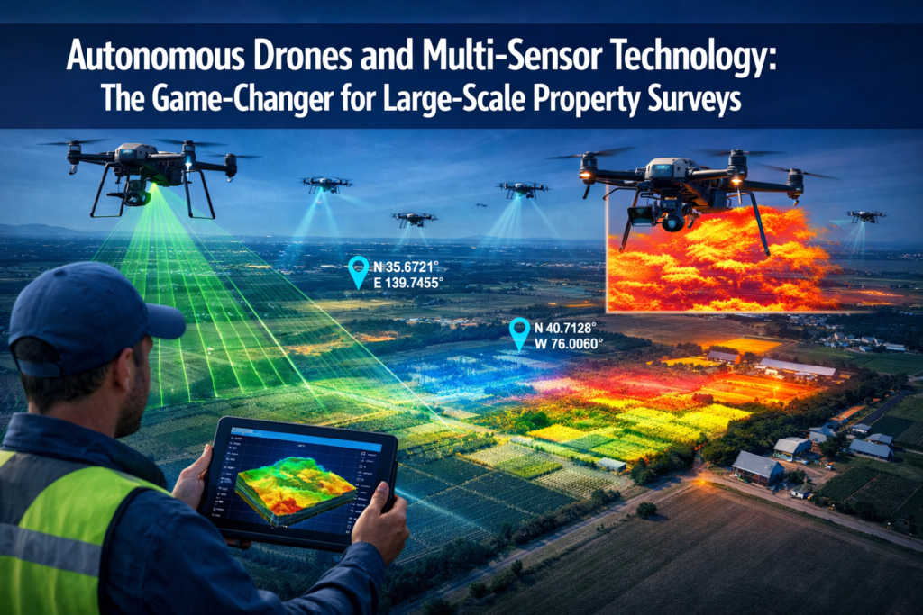
The surveying industry stands at a pivotal moment in 2026. Traditional ground-based methods that once took weeks to complete are being revolutionized by Autonomous Drones and Multi-Sensor Technology: The Game-Changer for Large-Scale Property Surveys. Imagine capturing every detail of a 500-acre development site—from topographic elevation to thermal anomalies—in a single afternoon flight, with accuracy down […]