
Revolutionizing Property Surveys: How AI and Machine Learning Are Predicting Risks in 2026

The property surveying industry stands at a transformative crossroads in 2026. Imagine analyzing 700 properties in just 72 hours with unprecedented accuracy, predicting landslides months before they occur, and identifying flood risks through satellite imagery that human eyes might miss. This isn't science fiction—it's the reality of revolutionizing property surveys: how AI and machine learning […]
Drones in Land Surveying: UAV Innovations Reducing Costs and Boosting Accuracy in 2026

{"cover":"Professional landscape format (1536×1024) hero image featuring bold text overlay 'Drones in Land Surveying: UAV Innovations Reducing Costs and Boosting Accuracy in 2026' in extra large 72pt white sans-serif font with dark shadow and subtle blue gradient background box, positioned in upper third. Background shows advanced quadcopter drone with LiDAR sensor hovering over topographic survey […]
Land Survey Costs in 2026: Complete Pricing Guide and Factors Driving Increases

Property owners, developers, and homebuyers face a complex landscape when it comes to understanding land survey costs in 2026. With inflation pressures, technological advancements, and a booming construction market reshaping the surveying industry, knowing what to expect financially has never been more critical. Whether you're purchasing a new home, subdividing land, or planning a major […]
3D Laser Scanning for Property Surveys: From Adoption Boom to Practical Implementation

The property surveying industry has witnessed a revolutionary transformation in 2026, as 3D laser scanning technology transitions from an innovative novelty to an essential operational standard. What began as an experimental approach reserved for high-budget projects has evolved into a mainstream methodology that delivers unprecedented precision, efficiency, and cost-effectiveness across diverse terrain types and project […]
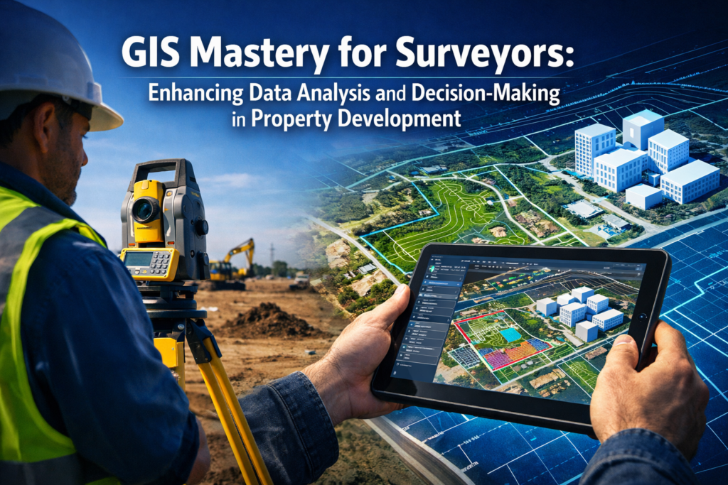
GIS Mastery for Surveyors: Enhancing Data Analysis and Decision-Making in Property Development

The property development landscape in 2026 has transformed dramatically, with surveyors no longer relying solely on traditional measurement tools and paper maps. Geographic Information Systems (GIS) have become the cornerstone of modern surveying practice, fundamentally changing how professionals analyze land, make decisions, and communicate findings to stakeholders. GIS Mastery for Surveyors: Enhancing Data Analysis and […]
GIS Mastery for Surveyors: Enhancing Data Analysis and Decision-Making in Property Development
The property development landscape in 2026 has transformed dramatically, with surveyors no longer relying solely on traditional measurement tools and paper maps. Geographic Information Systems (GIS) have become the cornerstone of modern surveying practice, fundamentally changing how professionals analyze land, make decisions, and communicate findings to stakeholders. GIS Mastery for Surveyors: Enhancing Data Analysis and […]