
Mobile 3D Mapping for Property Surveys: Creating Digital Twins Without Bulky Gear

A single smartphone-sized LiDAR scanner can now capture a complete floor plan of a 200-square-metre property in under twelve minutes — a task that once required a two-person crew, a tripod-mounted total station, and the better part of a working day. That shift is not a marketing claim; it reflects the measurable performance benchmarks published […]
Mobile 3D Mapping Advancements: Fast, Flexible Surveys Without Bulky Equipment
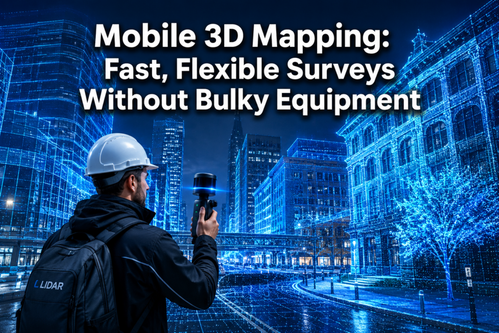
The mobile mapping market hit USD 51.19 billion in 2026 — and the technology driving that number has quietly rewritten the rules of property and land surveying [8]. Mobile 3D mapping advancements: fast, flexible surveys without bulky equipment are no longer a niche innovation reserved for aerospace or military applications. Today, a single surveyor carrying […]